The Research problem
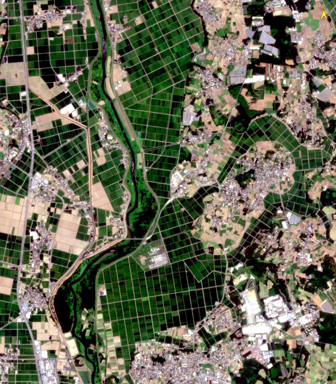
Agriculture is fundamental to global food security, yet many countries face increasing structural challenges in the agricultural sector. Greenhouses support year-round crop production and enable the cultivation of high-value or non-native crops; however, in regions such as Japan, Taiwan, Australia, and other developed and rapidly developing economies, ageing farming populations, labour shortages, urbanisation, and declining interest among younger generations have contributed to the abandonment of greenhouse facilities. These idle structures result in inefficient use of land and materials, reduced agricultural productivity, and missed opportunities to strengthen food security and climate resilience. Despite the scale of this issue, there is currently no efficient and accurate method to systematically identify and monitor abandoned greenhouses across large geographic areas. This knowledge gap constrains the ability of policymakers, local governments, and agricultural stakeholders to make evidence-based decisions on land use planning, agricultural revitalisation, and sustainable resource management.
Research Design
This project aims to address the growing challenge of abandoned greenhouse infrastructure through an integrated remote sensing and machine learning approach. The central research questions are: (1) How accurately can high-resolution satellite imagery be used to detect and map abandoned greenhouses across large geographic areas? ; and (2) How can machine learning models be developed and validated to enable scalable and transferable monitoring of abandoned agricultural infrastructure?
The proposed methodology combines high-resolution optical satellite imagery with machine learning techniques to identify and classify abandoned greenhouses at the prefecture level. Image-derived features will be used to train and test classification models capable of distinguishing between active and abandoned structures. The results will be validated using field surveys, historical land-use records, and ancillary agricultural data to ensure high accuracy and reliability.
The project will operate through collaboration with local stakeholders, including agricultural organisations and government agencies, to support data validation and interpretation. The primary outputs will include a comprehensive national-scale map of abandoned greenhouses and a validated methodological framework that can be replicated in other regions or countries facing similar challenges.
Beyond the case study area, this research establishes a transferable framework for monitoring abandoned agricultural infrastructure globally. By linking advanced remote sensing technologies with practical decision-making tools, the project supports sustainable land management, rural revitalisation, and food security, while demonstrating the potential of innovative geospatial research to deliver tangible societal and environmental benefits.
Project Objectives
This project aims to address the growing challenge of abandoned plastic greenhouse infrastructure, using Japan, Taiwan, and Australia as case studies while developing a scalable approach applicable across regions facing similar pressures on food systems. Ageing farming populations, labour shortages, and declining youth participation have led to widespread greenhouse abandonment, resulting in lost agricultural productivity, wasted land and materials, environmental degradation, and missed opportunities to strengthen food security and climate resilience.
The project’s key objectives are to:
- Develop a cost-effective and accurate method to detect and map abandoned plastic greenhouses using high-resolution satellite imagery and machine learning.
- Deliver a transferable methodological framework that can be applied across WUN member regions to enable comparative analysis of abandoned agricultural infrastructure and shared solutions.
By integrating advanced geospatial technologies with practical applications, this project directly supports WUN priority themes in sustainable land management, resilient food systems, and climate adaptation. WUN will facilitate international collaboration, knowledge exchange, and capacity building among partner institutions, amplifying the project’s impact beyond the case study area. The outcomes will provide actionable tools for governments, agricultural organisations, and farming communities, contributing to more resilient rural landscapes and sustainable global food systems.